Ride C2C #4 - Day 16: Dalesville/Troutville to Lexington VA
Date: 7/8/23
Day: 16
Route: Dalesville/Troutville to Lexington, VA
Miles: 43.3
Total Miles: 629.53
MyZone MEPs: 427
We are well over half-way to our end destination of Yorktown, VA, but we are not yet half-way in our charity goal!
~Friends~
If you like this travel journal (which takes a lot of travel time on the road) please donate what you can to help raise a total of $10,000 for these three charities:
- Whatcom Community Foundation (local): CLICK HERE
- Arthritis Foundation (national): CLICK HERE
- World Bicycle Relief (international): CLICK HERE
A bit about LEXINGTON
Before I tell you about our “short” ride today, let me clear up something about “Lexington”. Did you know there are 25 cities in the USA named “Lexington”? Really? The famous one is in Massachusetts where the revolutionary war began with “the shot heard around the world”. This Lexington in Virginia has plenty of other history and I’ll get to that in a bit.
It’s the same routine up early, eat breakfast in the hotel lobby, load the bikes, and we’re on the road by 7:15 AM. Our night at the Comfort Inn was actually very nice!
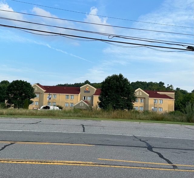
We’re back on a 4 Lane “Lee”highway SR 11,
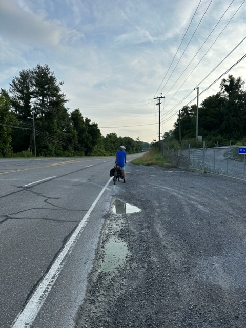
Following the TransAmerican cycle route.
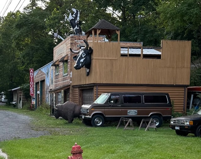
Funny antique store-
But since it is so quiet on the highway
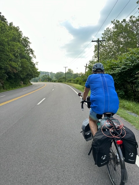
we decide to stay on it instead of taking a side road all the way to Buchanan – about 16 miles of mostly downhill four lanes with a shoulder. That was easy riding!
We see our first real glimpse of the Blue Ridge mountains.
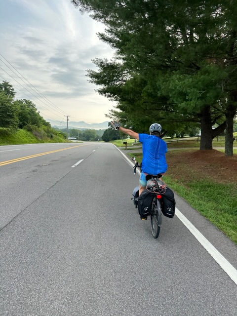
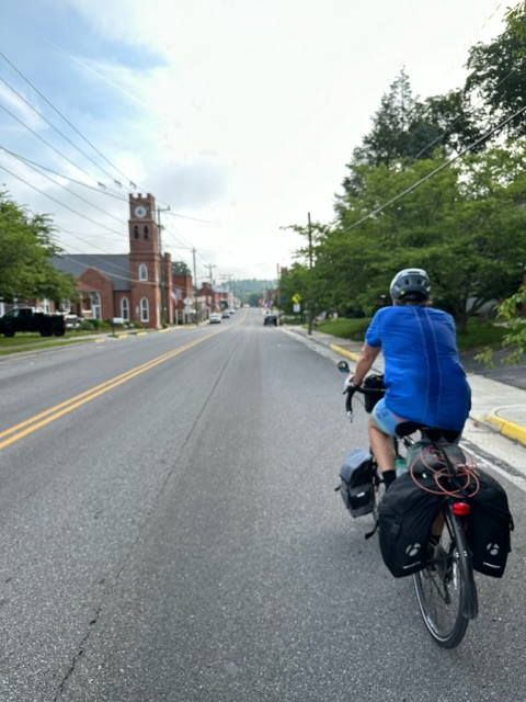
We stop in Buchanan, a small little town trying to re-create a cute “Main St.”
We pull over at an Exxon to eat bananas, a payday, and a Gatorade.
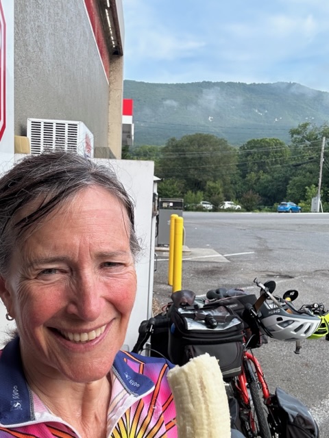
In the parking lot are 8 to 10 Harley riders just shooting the shit – Doug says they sound like a group of high school kids at lunch. They zoom off and we’re back on the bikes a bit before 9 AM.
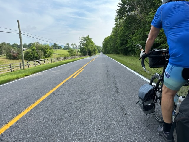
We cross over the James River and climb at a moderate rate with a 4 to 6% grade up and down for about 7 to 9 miles. These are OK hills, relatively car free on smaller roads paralleling Highway 81.
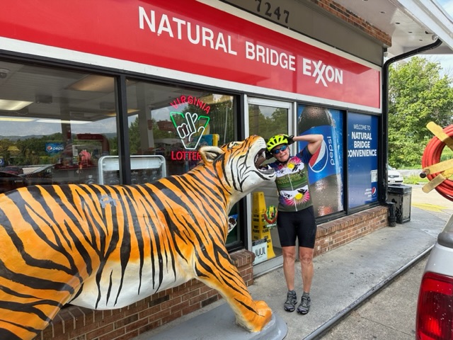
We must be stronger as we get to outside of a state park at about 27 miles it just about 10:15 AM. We pull over at another Exxon with a big tiger out front.
I made sandwiches at a picnic table and looked into what the state park - Natural Bridge -was all about. My map says it to 1 mile away and it’s really the first side trip to sightsee that we done since we started our journey from Louisville.
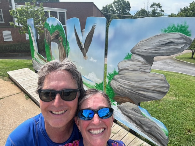
It turns out it’s 3 miles down a big ass hill and as we get there we are double thinking that we’re not gonna go back the way we came.
We don’t worry about that right now and instead going it into the Visitor center with great helpful woman who is ready to give us lots of information about the park in Lexington and she has maps. (Doug is very excited about this the Maps) 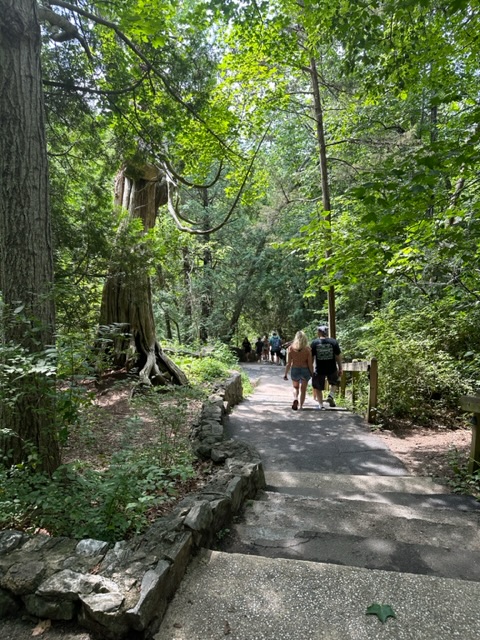
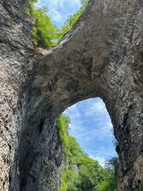
They warned us that there were 150 stairs down to see the natural Bridge where cedar creek and cut through rock to form the bridge.
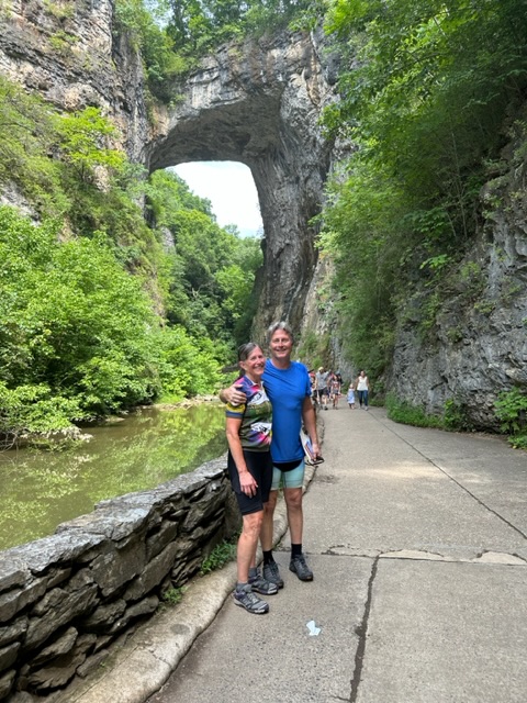
We didn’t know it but we had ridden right over the top as we approach the visitor center.
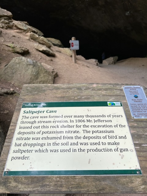
We follow the signs and go on a longer walk to the saltpeter cave
and then continue onTo the waterfall.
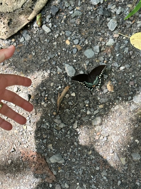
We laughed as we got there because it was more like water sliding over a rock… No falling water to be seen.
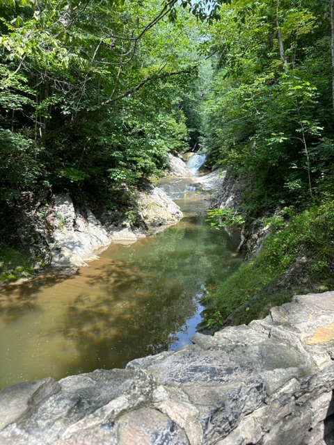
here's what we thought about the "waterfall"
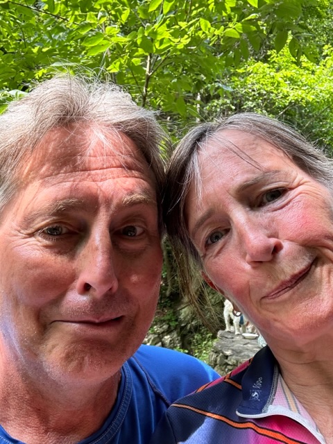
Back to the bikes and we decided to continue on State Route 11 instead of going back to the Trans- American route to get to Lexington. There were several "attractions" along the way.
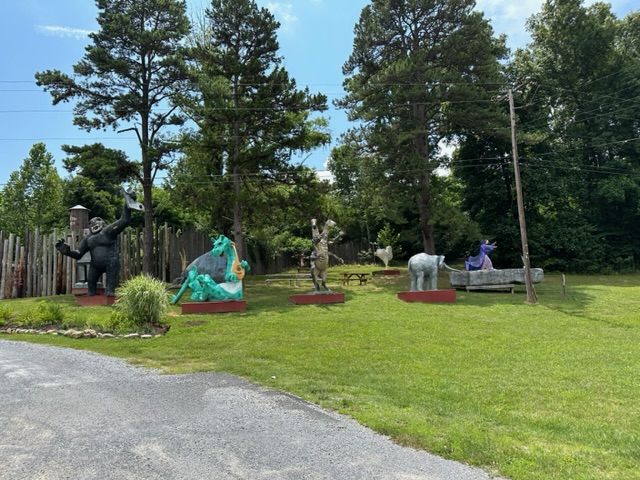
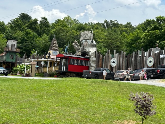
It was a nice road with fairly gentle ups and downs and they had a great three lanes set up… Uphill gets two lanes and downhill gets one lane and this would switch at the peak or the valleys.
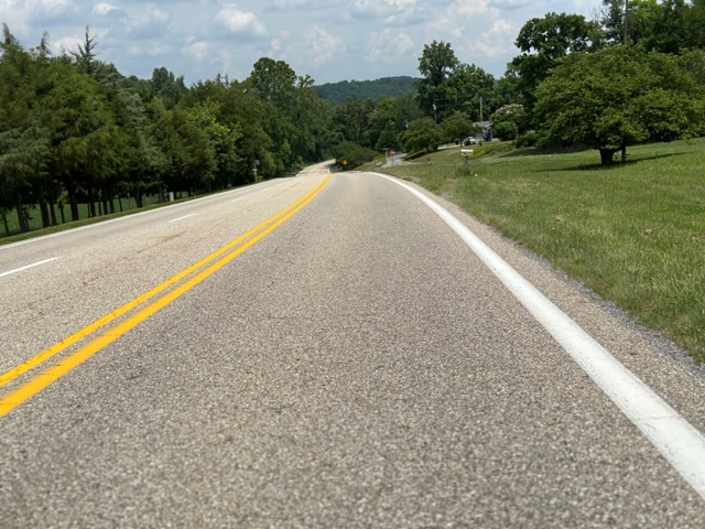
The only problem was the sun/heat. It’s now after 1 PM and the clouds are not setting in so the temperature climbs to about 90°. We make one stop at a convenience store for a snack and a fresh bottle of cold water.
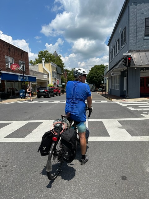
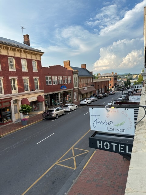
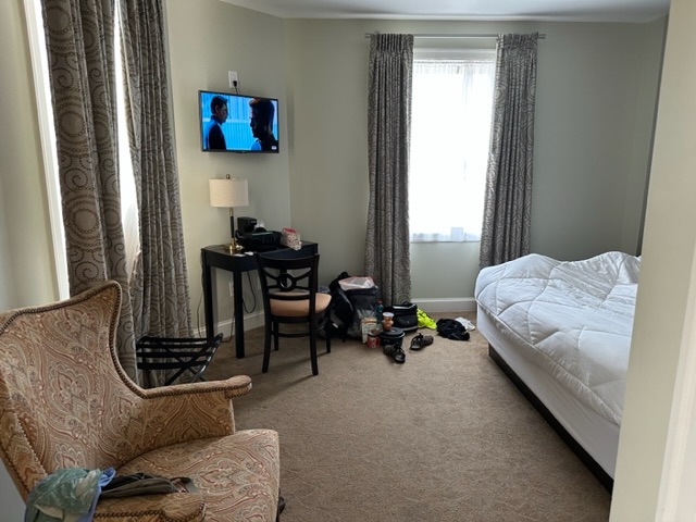
Roll into Lexington, to the Gin Hotel, right on Main Street. We’re able to check in early and they allowed us to put our bicycles in the ballroom. We had a beautiful corner room on the fifth floor With great views.
Quick shower and change and off to lunch to a restaurant recommended by the hotel staff called open “taps” (Ahi tacos and power bowl with salmon)
Then we do the tour thing and join a horse drawn carriage ride around the town.
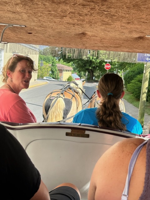
Shana shared lots of fun history but it was clear that she really cared more about the horses. We went by Stonewall Jackson'sHouse,
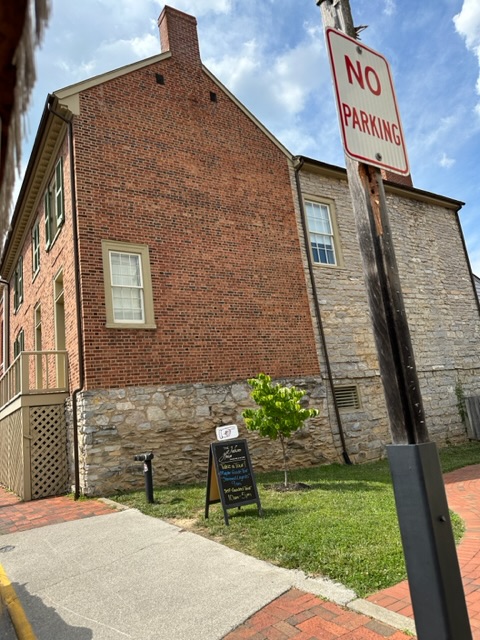
Virginia military Institute, Washington and lee College, explanation how it took 20 years to lower the level of the main street (that's why some doors are way above the street)
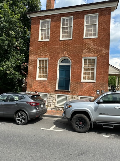
because the hill was too high for horses and carriages when it got muddy, but the entire city burned down in the late 1700s, toured past beautiful residential homes,
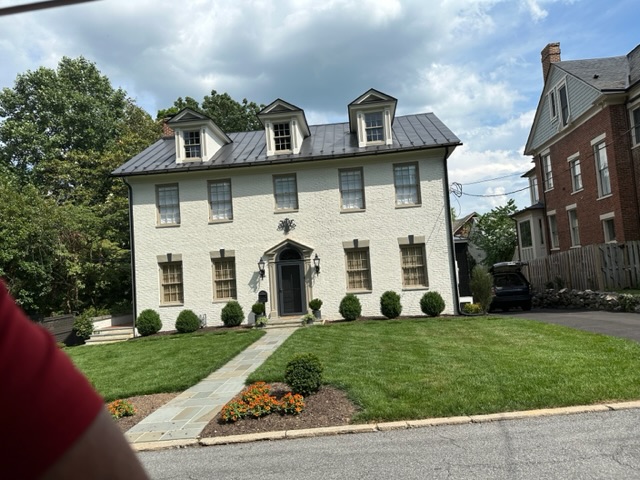
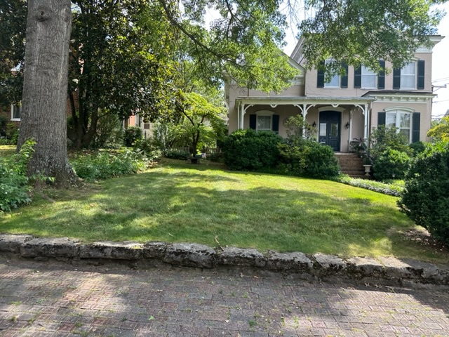
With sidewalk bricks with a raised pattern for traction (but then the glazed them which made them slippery again)
and that the horses got pop tarts at the end.
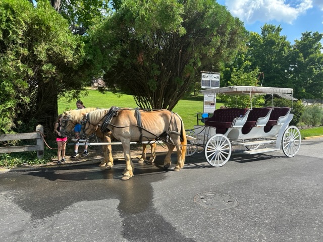
It’s hot, so we look for a place to grab something to Drink and we end up back at our hotel at our own restaurant bar on the second floor for Lemonade and calamari. Spend 10 minutes on the bike repair and retire to our room to write.
We will head out to dinner soon
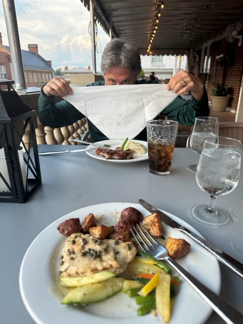
and call it an early evening as we have a very big climb tomorrow to get up onto the Blue Ridge Parkway.
